
Bmahray
Aley · Mount Lebanon
Lightly covered
Bmahray is located in the Aley district of the Mount Lebanon governorate. There are nine verified places here, primarily camping sites, archaeological sites, and hiking spots, along with picnic areas and restaurants. The best-known places by review count are Cedars Ground Campsite, Mountscape, and Skoon.
Places in Bmahray
Khandak
Hiking
Listed as open on Google
Hawa Al Arz
Picnic area
Listed as open on Google
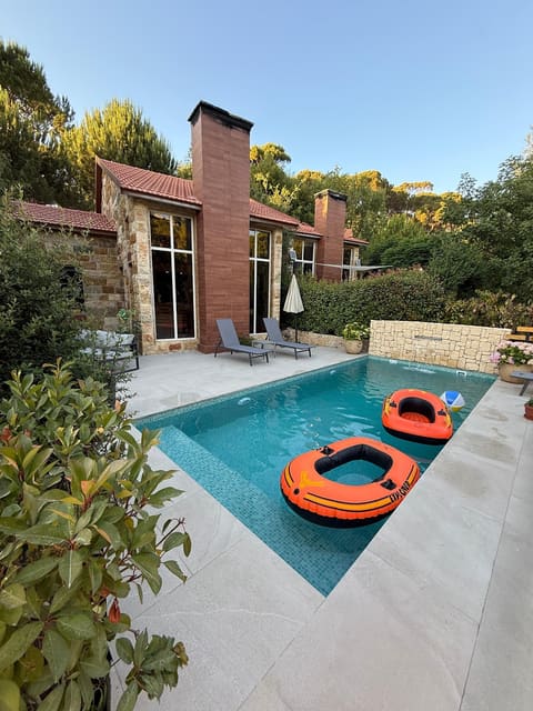
Mountscape
Restaurant
Listed as open on Google
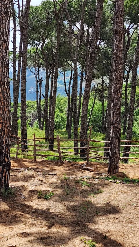
The Jungle Campsite
Camping site
Listed as open on Google
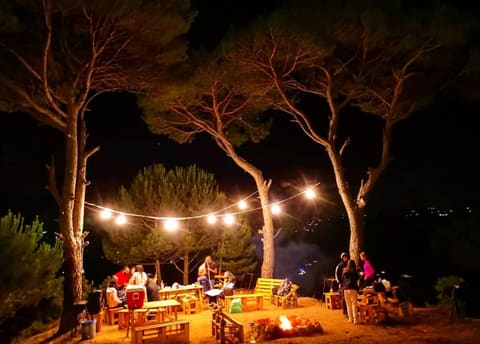
Jiji's Hills
Camping site
Listed as open on Google
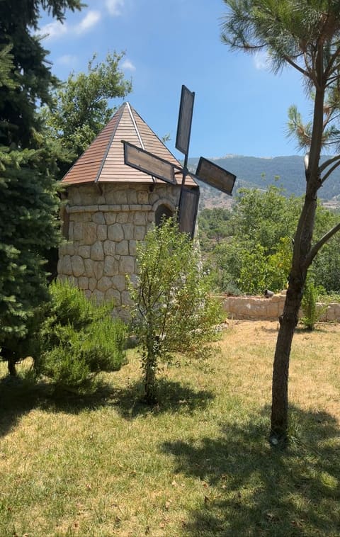
Bmohray
Camping site
Listed as open on Google
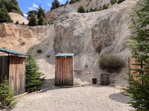
Cedars Ground Campsite
Camping
Listed as open on Google
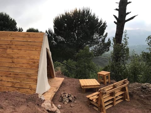
Skoon
Camping site
Listed as open on Google

Shouf biosphere Reserve /Ain Zhalta-Bmohrai Forest
Reserve
Listed as open on Google
Ghanem Mountains
Archaeological site
Listed as open on Google

Eureka Glamping Experience (Lebanon)
Camping site
Listed as open on Google
Nearby
Opens the day planner in your browser. Nothing to install.